![]()
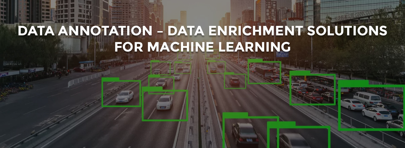
Deduce Technologies has expertise across Data Annotation, Labelling, Segmentation and Analysis. By leveraging domain specific annotation tools, in-house AI/ML tool-based accelerators and multi-lingual expert labellers, we provide turnkey solutions to global customers.
We have expertise in following Domain Specific use cases and Service Offerings:
Domain Specific Use Cases
Types of Service Offerings
Recent Projects
Smart City Solution:
Deduce along with or partner were awarded this assignment based on our track records & credentials. This was a herculean task considering the level of details to be captured. To ensure maximum coverage, we took a call to capture input information using multiple sources: Aerial Lidar Survey, Mobile Lidar Survey, Aerial Imagery, Satellite Imagery, Mobile 6 Camera Imagery, Paper plots/Maps.

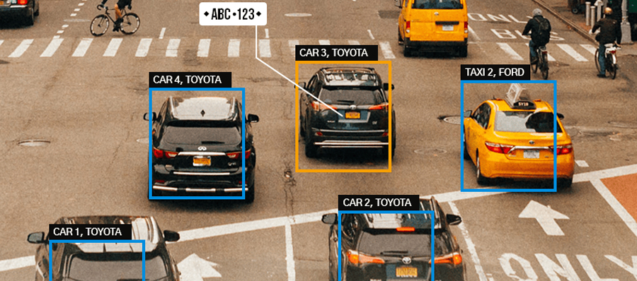
Number Plate Detection
Deduce along with or partner were awarded this assignment based on our track records & credentials. This was a herculean task considering the level of details to be captured. To ensure maximum coverage, we took a call to capture input information using multiple sources: Aerial Lidar Survey, Mobile Lidar Survey, Aerial Imagery, Satellite Imagery, Mobile 6 Camera Imagery, Paper plots/Maps.